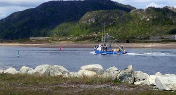
Port of Stephenville
The seaport is located on the north shore of St. George’s Bay, about 50 kilometres east of Cape St. George.
The navigational season is year-round, with occasional icebreaker assistance during the winter.
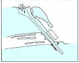
Access to the harbour and turning basin is through a 72-meter wide by 2100-meter dredged channel with a limiting depth of 10 meters.
For more information, please visit the Port of Stephenville website or call (709) 643 5626.